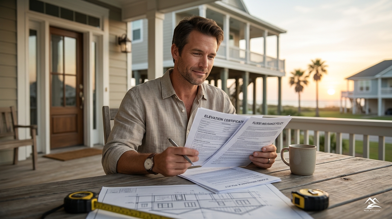
An elevation certificate is a standardized form that documents a building's vertical position relative to the surrounding floodplain. This document serves as the primary tool for insurance underwriters to calculate accurate risk profiles. By providing precise elevation data, homeowners can often qualify for significant premium discounts on their flood insurance policies. At Brad Spurgeon Insurance Agency, we help clients in Galveston and Texas City understand how this single document can lower their annual costs while ensuring their coverage remains robust and compliant with federal requirements.
The Definition and Purpose of an Elevation Certificate
An elevation certificate is a standardized form that documents a building's vertical position relative to the surrounding floodplain. It is a critical document for properties located in Special Flood Hazard Areas. The form records the elevation of the lowest floor, the elevation of the lowest adjacent grade, and the elevation of the base flood elevation. This data allows insurers to determine the exact risk level of a structure. Without this document, underwriters must rely on generalized zone maps, which often result in higher premiums because they cannot account for specific building height.
How Elevation Data Influences Premium Calculations
Insurance premiums are directly tied to the probability of flood damage. A building that sits higher above the base flood elevation presents a lower risk to the insurer. When an elevation certificate shows that a home is built significantly above the flood level, the insurer can apply a lower rate. For example, a home in Zone A that is elevated ten feet above the base flood elevation may pay a fraction of the premium of a home in the same zone that sits at grade level. This precise data replaces broad assumptions with specific, verifiable facts. The result is a policy that reflects the true risk rather than a worst-case scenario.
Qualifying for Mitigation Discounts
Homeowners can earn specific discounts by implementing flood mitigation measures. An elevation certificate is often required to prove that these measures have been completed. For instance, if a homeowner elevates their home or installs a sump pump, they need documentation to claim the associated discount. The certificate provides the before and after elevation data needed for these claims. In Galveston, where coastal flooding is a constant concern, these discounts can be substantial. By documenting improvements, property owners demonstrate a reduced risk profile. This proactive approach not only lowers costs but also enhances the safety of the property during storm events.
The Role of Elevation Certificates in Coastal Texas
Coastal areas in Texas face unique flood risks due to storm surge and high tides. In these regions, the accuracy of elevation data is paramount. A small difference in elevation can mean the difference between a dry basement and a flooded one. Insurance carriers in the Gulf Coast region rely heavily on these certificates to underwrite policies. For residents of Texas City and Galveston, obtaining a current certificate is a standard part of the insurance process. It ensures that the policy is priced correctly and that the homeowner is not overpaying for coverage they do not need. This precision is essential for long-term financial planning in high-risk coastal zones.
How to Obtain and Use Your Certificate
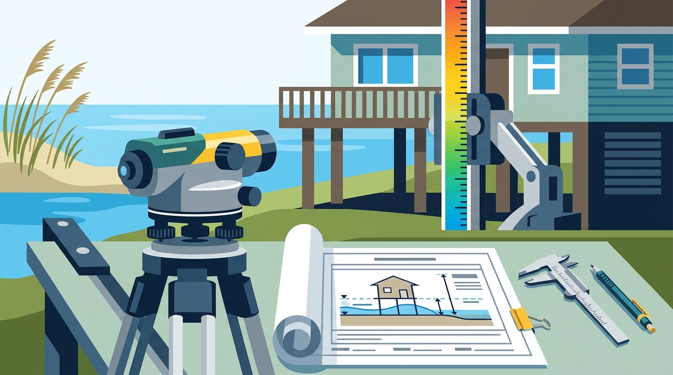
Homeowners can obtain an elevation certificate from a licensed surveyor or engineer. The professional measures the building's elevation and completes the standardized form. Once obtained, the certificate should be provided to the insurance agent. At Brad Spurgeon Insurance Agency, we guide clients through this process to ensure all data is accurate and up to date. We help interpret the findings and apply any eligible discounts to the policy. This service ensures that clients receive the maximum benefit from their documentation. It is a simple step that can yield significant savings over the life of the policy. according to Elevation Certificates
Key Takeaways
- An elevation certificate is a standardized form that documents a building's vertical position relative to the floodplain.
- Accurate elevation data allows insurers to calculate premiums based on specific risk rather than generalized zones. according to Understanding Elevation Certificates
- Higher elevation above the base flood level typically results in lower insurance premiums.
- The certificate is required to claim discounts for flood mitigation measures like home elevation.
- Coastal Texas properties benefit significantly from precise elevation documentation due to storm surge risks.
- Homeowners should work with licensed professionals to obtain accurate and up-to-date certificates.
- Providing this document to your insurance agent ensures your policy is priced correctly and fairly.
Frequently Asked Questions
What is an elevation certificate?
An elevation certificate is a standardized form that documents a building's vertical position relative to the surrounding floodplain. It is used by insurers to calculate accurate flood insurance premiums.
Do I need an elevation certificate if I am not in a high-risk zone?
It is recommended for all properties in flood zones. Even in lower-risk areas, accurate elevation data can help lower premiums and ensure proper coverage.
How much can an elevation certificate lower my premium?
The savings vary based on the building's height above the base flood elevation. Significant elevation can result in substantial discounts, sometimes reducing premiums by a large percentage. according to Elevation Certificates
Who can complete an elevation certificate?
A licensed surveyor, engineer, or architect must complete the certificate. They have the expertise to measure elevations accurately and certify the data. according to All About Elevation
How often should I update my elevation certificate?
It should be updated if the building is modified, elevated, or if new flood maps are issued. Regular updates ensure that your insurance premium reflects the current risk profile.
Can I use an old elevation certificate?
Old certificates may be accepted if the building has not changed. However, insurers may require a new certificate if the data is outdated or if flood maps have been revised.
Where can I find an elevation certificate for my home?
You can request one from the local building department or hire a licensed surveyor. Your insurance agent can also guide you on where to obtain the necessary documentation. according to Help Clients Pay
Conclusion
Understanding the role of elevation certificates is essential for managing flood insurance costs. This document provides the precise data needed to calculate accurate premiums and qualify for discounts. By working with a knowledgeable agency, homeowners can ensure they are not overpaying for coverage. At Brad Spurgeon Insurance Agency, we are committed to helping clients in Galveston and Texas City navigate these complexities. We provide the expertise needed to interpret elevation data and optimize your insurance policy. to discuss how an elevation certificate can benefit your property and lower your costs.